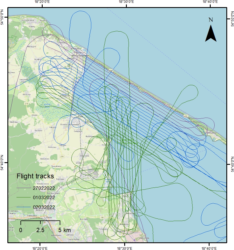
We are pleased to announce that the riskiest part of our project has been successfully completed! The aerial survey contractor took advantage of an exceptional weather window and performed bathymetric lidar and aerial photogrammetry measurements over the entire Puck Lagoon area in the last few days. Visibility and penetration during the surveys were exceptionally good, so accurate bathymetry measurements are expected. The data are currently in the processing phase. We will keep you updated on the further progress of the project. The map represents the flight track lines from the recent aerial survey.