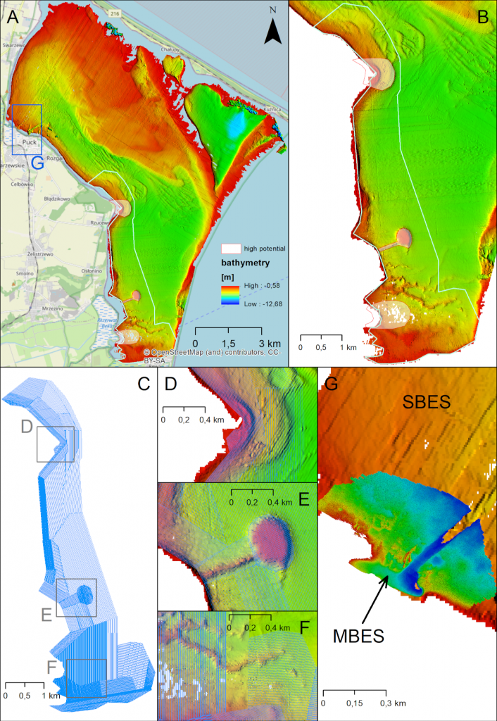
Among others, the Puck Lagoon’s high-resolution bathymetry is of great significance for hydrographical, ecological, geological, and archaeological purposes. The Puck Lagoon is considered to be the most valuable area in terms of biodiversity on the Polish coast of the Baltic Sea. Seabed habitats of this area consist of valuable phytobenthic meadows of Zoostera marina, Charophyceae, or Potamogeton. Moreover, Puck Lagoon is of great archaeological potential. For example, the Middle Ages were a period of dynamic development of Puck’s port at the mouth of the Plutnica river. At that time, the Puck Lagoon was used economically and was a route for intercultural contacts, as evidenced by one of the wrecks with Scandinavian features found in the basin. These activities certainly left traces that may have been deposited on the bottom of the basin. We should also not forget about objects whose chronology is unknown but may have an anthropogenic character. Much remains to be discovered – submerged human settlements, the submerged forests, and unusual seabed anomalies. One such large anomaly is an oval seabed rise near the village of Beka with an object that looks like a dyke. The oval shape of the rise and the underwater dyke connecting it to the shore suggests a submerged settlement dating back several thousand years. However, so far, no sufficient expertise has been done. Due to the lack of proper identification of this water area, the underwater cultural heritage mentioned above is exposed to many dangers.

Although the utilization of airborne photogrammetry as a low-cost determination of shallow bathymetry DEM is currently rapidly growing, up to now, it has been developed for limited areas worldwide. This research will provide the first insights into bathymetry generation in the Polish shallow marine waters based on airborne photogrammetry techniques.
