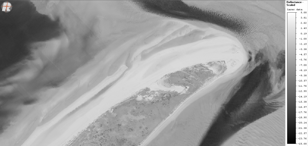
We are excited to announce our cooperation with GISPRO company regarding aerial data surveying and processing. The service will include LiDAR bathymetry and photogrammetry surveys in the Puck Lagoon area. These goals will be achieved by utilizing one of the most modern equipment designed to acquire aerial laser bathymetry. Applied technologies will provide dense point clouds of the seafloor. The producer of the bathymetry scanner promotes the penetration below the water transparency limit measured by the Secchi disk. We are confident that the airborne survey will enable further research tasks of the Project to be carried out directly as planned.