
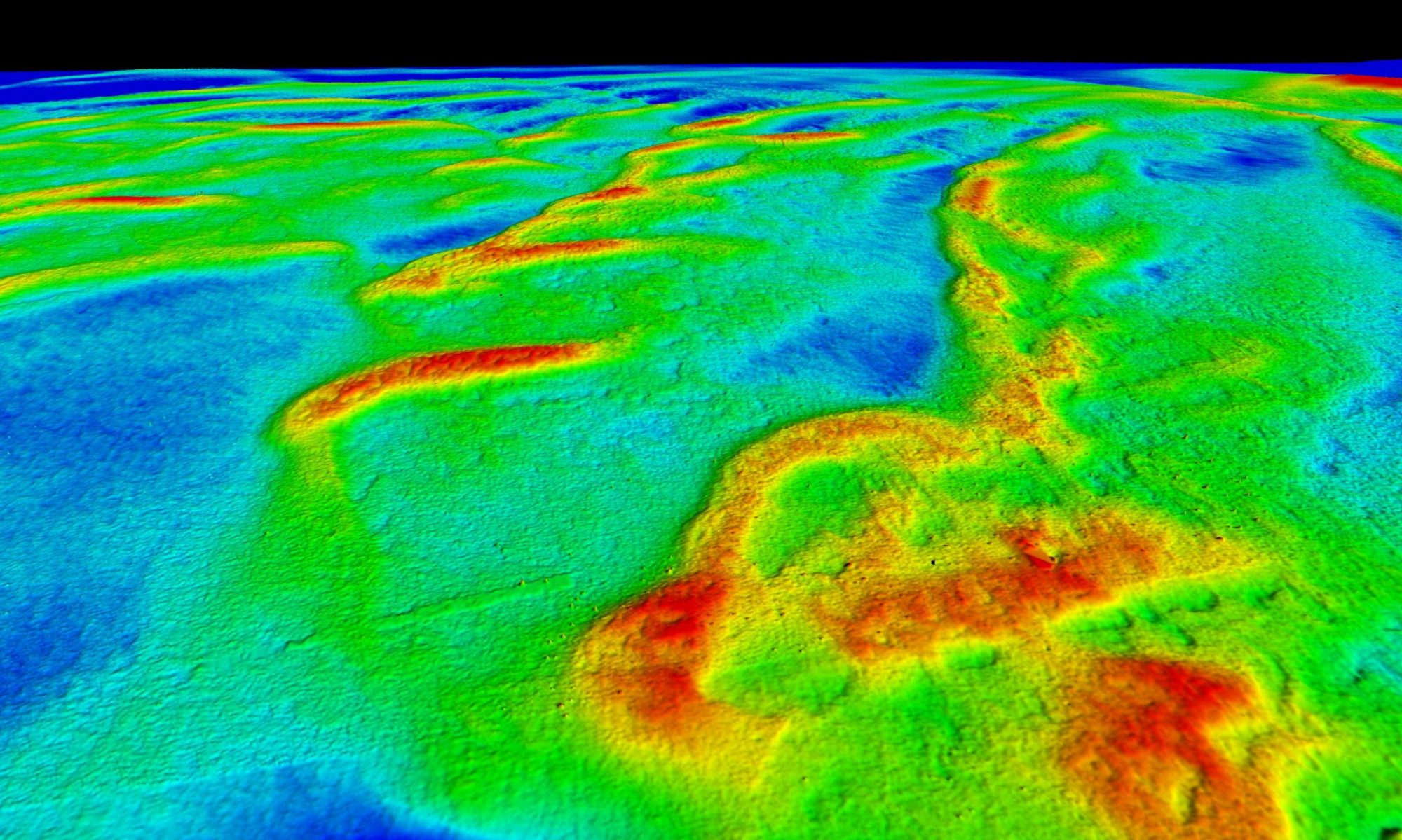
The primary purpose of the project is to generate the first high-resolution bathymetry DEM (Digital Elevation Model) of the Puck Lagoon. Unfortunately, up to now, the Puck Lagoon does not have precise, high-resolution bathymetry. The only existing DEM of this area was developed due to interpolation between singlebeam echosounder measurements every 25 m. This project aims to change this state of knowledge by utilizing airborne bathymetric LiDAR, airborne photogrammetry, and multibeam echosounder. The integration of these methods in the GIS environment will allow to development of the first DEM for the whole Puck Lagoon, which will be hundreds of times more accurate than existing data.
Project in numbers
- Project duration: 36 months (01.10.2021 – 30.09.2024)
- 3 WorkPackages: (1) data acquisition, (2) data processing and interpretation, (3) development of automatic mapping methods
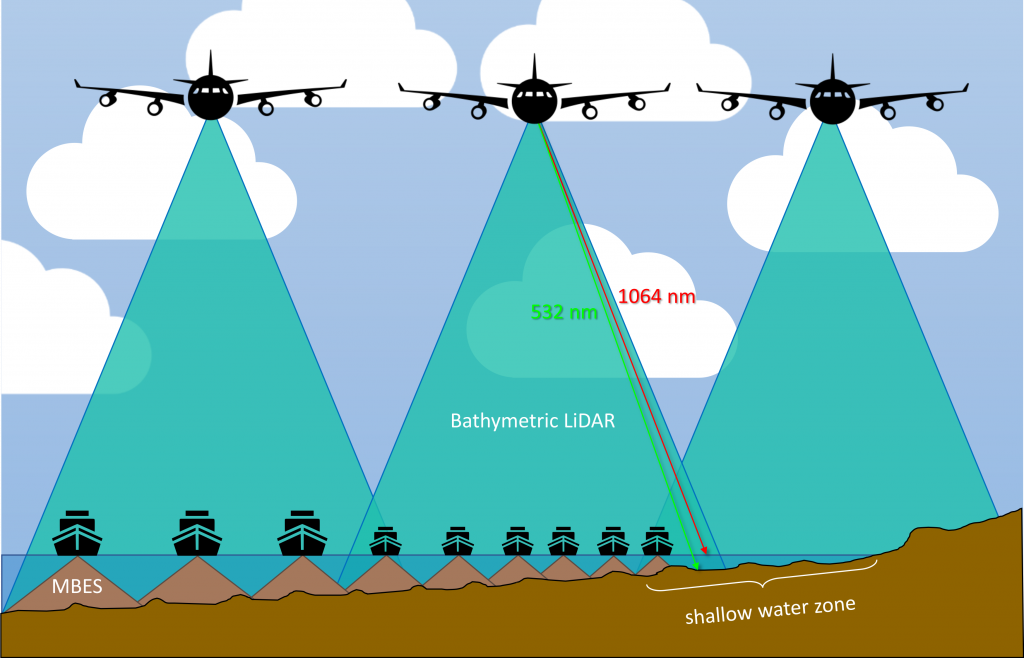
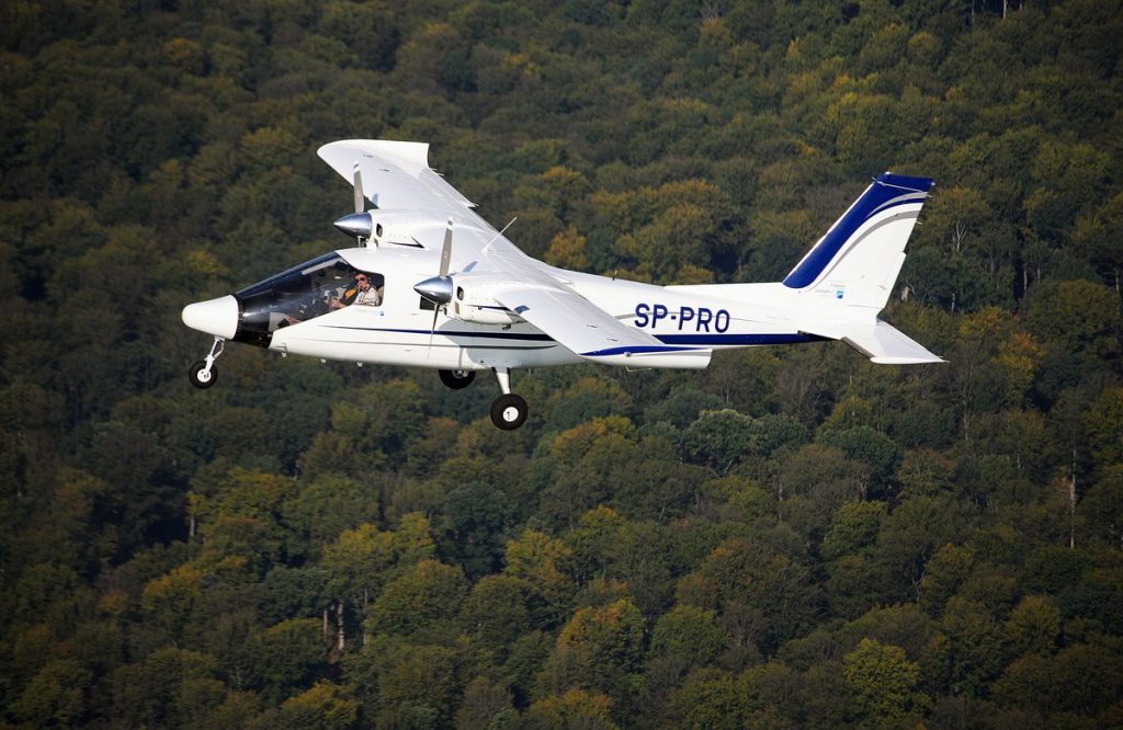
- One airborne LiDAR and photogrammetry survey
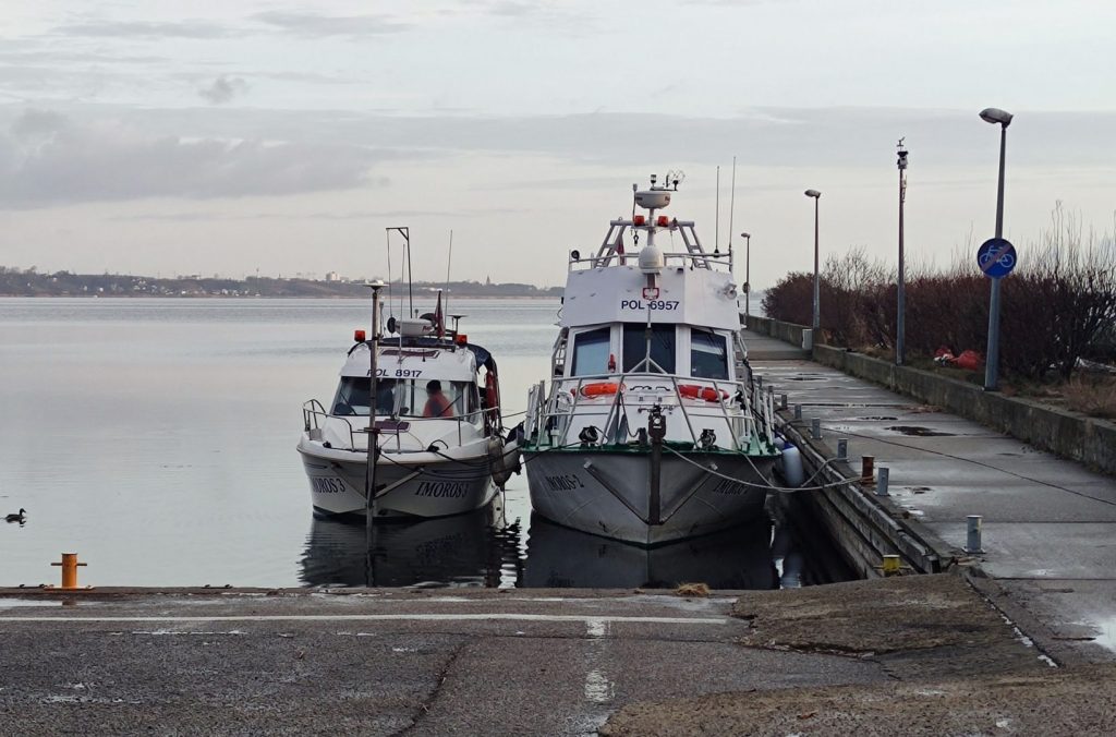
- 20 days of MBES survey (outcome bathymetry with at least 0.2 m pixel size)
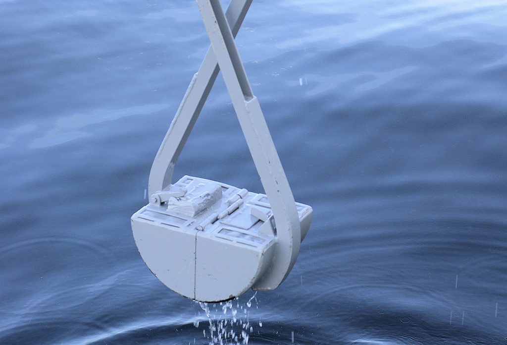
- At least 100 ground-truth benthic samples (sediment samples, underwater videos/ photography)
- Two weeks of underwater archaeological prospections
Research objectives
- Generation of the first high-resolution bathymetric model of the Puck Lagoon.
- Testing the utilisation of airborne photogrammetry to generate a bathymetry in the Polish coastal zone, meeting International Hydrographic Organization standards.
- Analysis and interpretation of the area based on secondary features of Digital Elevation Model and backscatter of the seafloor.
- Determination of suitable processing workflows for automatic classification of benthic habitats and underwater archaeology sites.
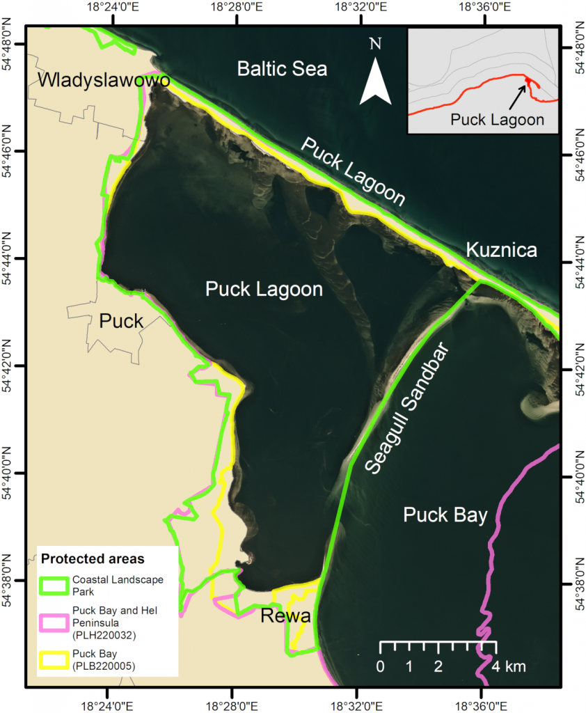
Study site
- Spatial coverage – 102.69 km2
- average depth – 3.13 m
- maximum depth – 9.4 m
- The shallowest zone (up to 2 m) covers approx. 30% of the area
- Environmental protection:
- Coastal Landscape Park
- Natura 2000 sites:
- PLB220005
- PLH220032
- Valuable benthic habitats:
- Zostera marina
- Substantial archaeological potential
- 5 shipwrecks
- Medieval harbour
- Submerged forests & submerged island
- Lack od high-resolution bathymetry and seafloor composition maps
- Existing bathymetry is the result of interpolation of singlebeam echosounder profiles every 25 m, done in 2012 by Hydrographic Office of the Polish Navy
- Considering the current remote sensing technologies, the area is still Terra Incognita
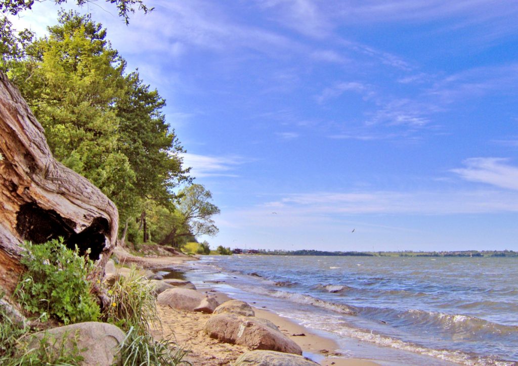
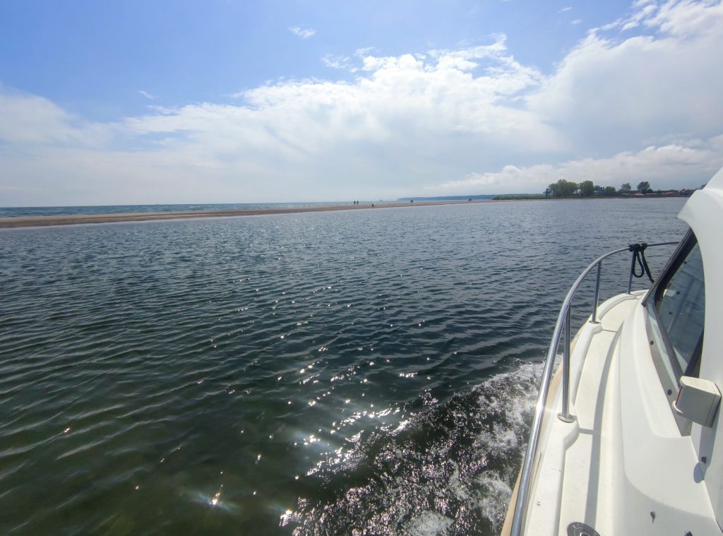
Gallery
Who we are
Conscious enthusiasts who care about one of the main challenges of the contemporary world – seabed mapping